Secretaría de Presidencia
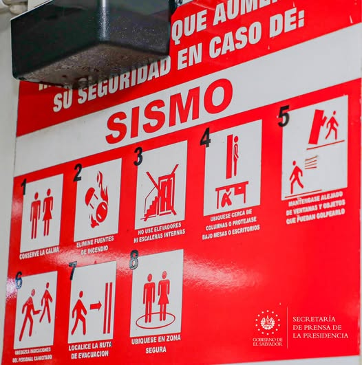
The Government of El Salvador continues to strengthen its capacity to respond to earthquakes, a constant challenge due to its location in one of the most active tectonic regions in the world. This effort reaffirms the national commitment to protect the population and mitigate the impacts of natural disasters.
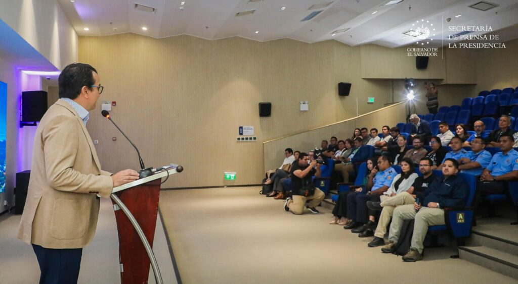
The Minister of Environment, Fernando López, presented the Response Dashboard for the estimation of seismic risk metrics, developed with the support of the FORCE project and the Global Earthquake Model (GEM) Foundation. This high-tech tool allows evaluating the impact of earthquakes and optimizing emergency preparedness and response actions, using high-resolution models to estimate seismic hazard and risk at the national level.
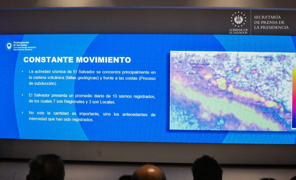
El Salvador has one of the most advanced seismic monitoring networks in the region, with one station every 196 km², surpassing neighboring countries in density. These 107 stations operate in real time, 14 of them broadband, capable of recording events as far away as Japan and Chile. This robust system allows constant monitoring of seismic activity and significantly improves analysis and surveillance capabilities.
The new interactive dashboard represents a key innovation by providing rapid estimates of economic losses, fatalities and areas at greatest risk of collapse within minutes of an earthquake. This system provides decision makers, such as Civil Protection, with crucial information to prioritize resources and direct efforts to the most affected areas.
With these advanced tools and a strengthened technological infrastructure, the Government of El Salvador reaffirms its commitment to the safety of its citizens, standing out as a benchmark in resilience and seismic preparedness in the region.