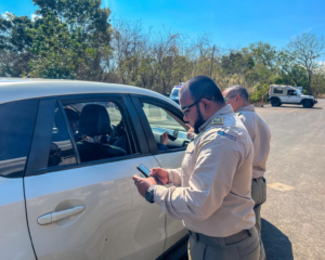
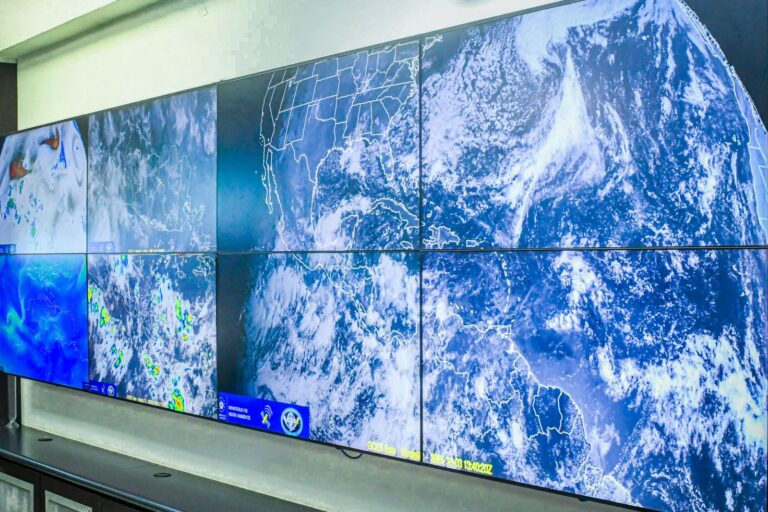
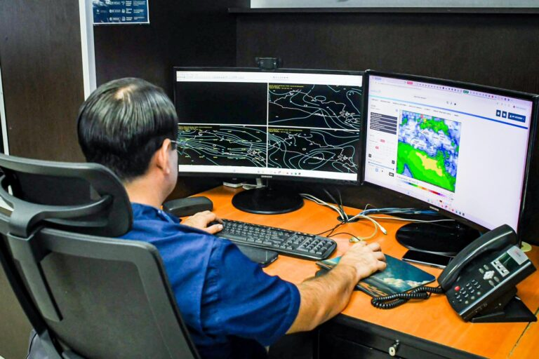
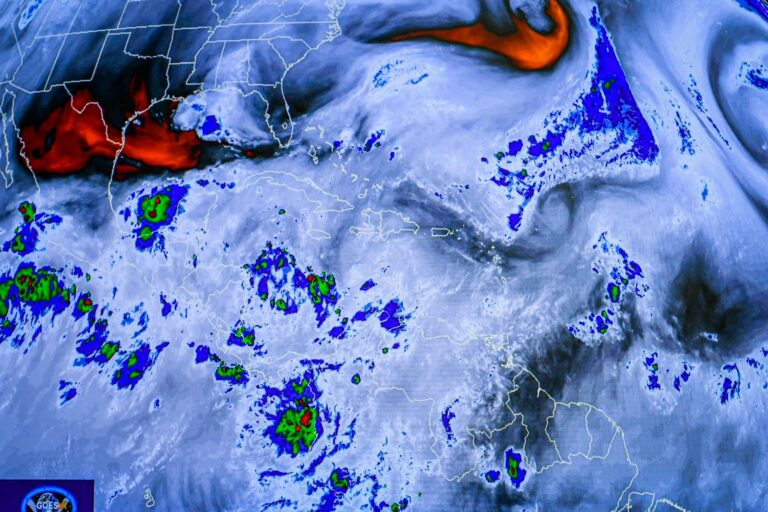
The Government of El Salvador continues monitoring weather conditions to inform the public about the risks associated with the rains. The El Ministerio de Medio Ambiente y Recursos Naturales updated the accumulated rainfall data and presented the forecast for the coming days and months.
The head of the Ministry of Environment, Fernando López, reported continued rainfall for today, sunday, and monday. The official emphasized the need for the public to pay attention to the institution’s official information.

López explained that rainfall could occur as early as Sunday morning. This condition is due to the confluence of a tropical wave and the approach of the Intertropical Convergence Zone.
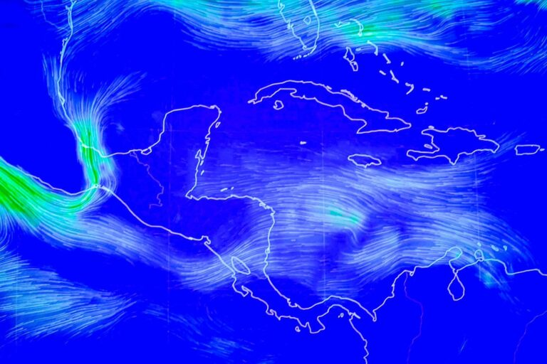
Rainfall is expected to be concentrated in the volcanic belt and mountain range, with the phenomenon spreading to the rest of the country overnight. Winds of up to 18 kilometers per hour are expected. Thunderstorms could include electrical activity and wind gusts that could reach 35 kilometers per hour.
You may be interested in: